
How God made his own country: One Keralam, 14 chapters
Mail This Article


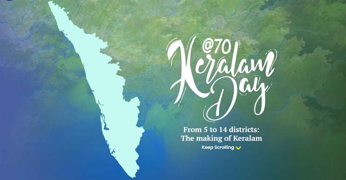
Keralam did not begin its journey as a state with 14 districts. When it was formed on November 1, 1956, following the reorganisation of states, it had just five districts. Over the next 28 years, eight more districts were carved out, taking the total to 14 with the formation of Kasaragod in 1984.
The state's administrative map evolved through a series of changes, with new districts being formed by reorganising existing territories. As Keralam marks its 70th Formation Day, here is a look at how the state grew from five districts to 14. Click to view infographics.
November 1, 1956:
Keralam was formed with five districts: Thiruvananthapuram, Kollam, Kottayam, Thrissur and Malabar.
January 1, 1957:
The Malabar district was divided into three districts: Palakkad, Kozhikode and Kannur.
August 17, 1957:
Alappuzha became a separate district, with areas carved out of Kottayam and Kollam.
April 1, 1958:
Ernakulam district was formed by carving out areas from Thrissur and Kottayam districts.
June 16, 1969:
Malappuram district was formed by combining areas from Kozhikode and Palakkad districts.
January 26, 1972:
Idukki district came into existence with territories from Ernakulam and Kottayam districts.
November 1, 1980:
Wayanad was formed by carving out areas from Kozhikode and Kannur districts.
November 1, 1982:
Pathanamthitta became Keralam's 13th district, incorporating areas from Kollam, Alappuzha and Idukki districts.
May 24, 1984:
Kasaragod was carved out of Kannur district to become Keralam's 14th and final district.
August 25, 2026:
Nearly seven decades after the state's formation, another change to its identity came into focus. The President gave assent to a Bill to change the state's name from 'Keralam' to 'Keralamm'.
