Delayed projects, NH work push Kasaragod's Veeramala Hills to the brink of ruin
Mail This Article


Over the years, four ministers from successive governments have scaled the heights of Veeramala Hills at Cheruvathur in Kerala's Kasaragod district, promising grand development plans. Local residents have long been hearing about multi-crore initiatives meant to transform the area. The grandest of these promises was the establishment of a heritage village, designed to be a crown jewel of Kasaragod's tourism and cultural landscape, funded jointly by the central and state governments. Today, however, that ambitious project remains confined to official files, while the hill itself—standing majestically alongside the Tejaswini River and historically linked to the region's heritage—is slowly being chipped away.
The push to tap into Veeramala's tourism potential began nearly 20 years ago. From its summit, the hill offers breathtaking panoramic views of the Arabian Sea and the Ramanchira wetlands, a vital habitat for migratory birds. It also holds profound historical significance. The Dutch once used Veeramala as a base to gather spices from the eastern high ranges, and historical archives make references to the Cheruvathur Fort standing on this very peak.
Years ago, a budget of ₹4 crore was earmarked to develop a children's park, viewpoints, and other basic infrastructure on the hill, but the plans never materialised. Later, during his tenure as the state tourism minister, Kadakampally Surendran stood atop the hill and announced that Veeramala would be included in the state's pilgrimage tourism circuit. Nothing came of it. Prior to that, during the UDF administration, the then tourism minister AP Anil Kumar also visited the site to evaluate its tourism potential and promised major interventions, which similarly stalled. The proposal for a heritage village during the subsequent LDF administration saw some progress, including initial steps to acquire 10 acres of revenue land at the summit, but the file has since gathered dust in government departments.
The geography of Veeramala is a complex mix of ownership, with 10 acres of revenue land at the top, around 37 acres of surrounding forest land, and private holdings at the foothills. The serene Tejaswini River flows to the north, while the scenic Ramanchira lake lies to the east. Following the monsoon, the hilltop transforms into a vibrant meadow of wildflowers. Visitors can still spot the ruins of the historic Dutch fort, including a disused well from the era. The summit remains the perfect vantage point to watch sunsets, spot fishing boats out in the Arabian Sea, and capture the picturesque Achamthuruthu Bridge.
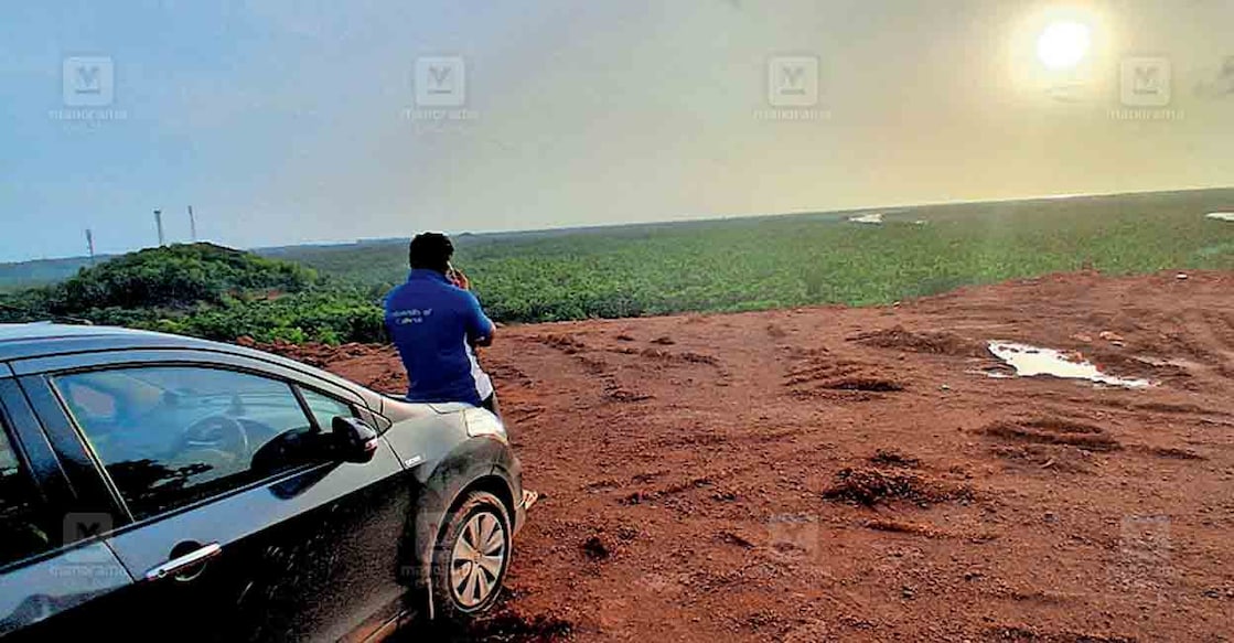
While conservation projects remain stalled, the physical destruction of the hill continues unabated. The expansion of National Highway 66 has already sliced away a massive portion of Veeramala's western flank. Worse still, private soil extraction is actively hollow out the foothills. Locals allege that authorities are turning a blind eye and even issuing permits for soil removal. If immediate action is not taken to halt this environmental exploitation and revive the promised heritage project, Veeramala Hills will soon survive only in memories and history books.